Solutions
▼
Interactive Maps
360° Tours
Localist Events
My Campus Experience
FlippedApp
Industries
▼
Higher Education
Fan and Guest Experience
Convention Centers
Resources
▼
Case Studies
PDFs & Downloadables
Podcast – Higher Ed
Map of Clients
Blog
Webinars
Help Center
About
▼
Company
Careers
Brilliant Client Success
Testimonials
Contact
Interactive Map Login
360° Tour Login
Pricing
Schedule a Demo
Skip to content
Search for:
Solutions
Interactive Maps
360° Tours
Localist Events
My Campus Experience
FlippedApp
Industries
Higher Education
Fan and Guest Experience
Convention Centers
Resources
Case Studies
PDFs & Downloadables
Podcast – Higher Ed
Map of Clients
Blog
Webinars
Help Center
About
Company
Careers
Brilliant Client Success
Testimonials
Contact
Interactive Map Login
360° Tour Login
Pricing
Schedule a Demo
Blog
Accessibility
Higher Education
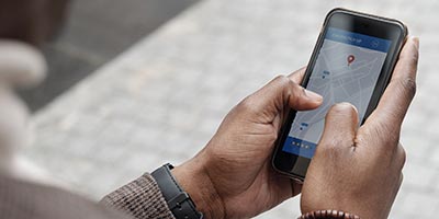
Digital Wayfinding
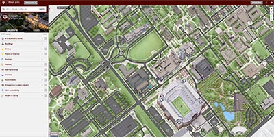
Interactive Maps
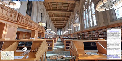
360º Tours
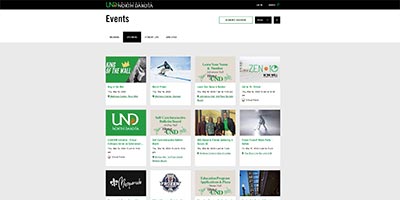
Localist Events
Page load link
Go to Top